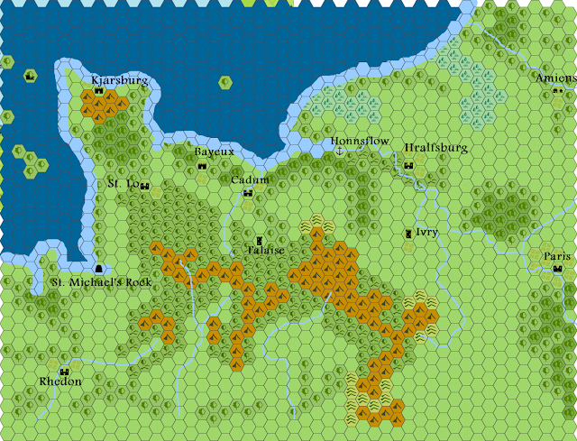
So I came up with some maps of Normandy. These are loosely based on history, I've altered names based on 900s-1000s pre-francophone Nordic names for some of the Norman towns. I've also made the terrain more rugged.
Thematic hex map: scale is approximately 10 miles per hex.
This is at the usual 6 mile hexes.


Nice!
ReplyDelete